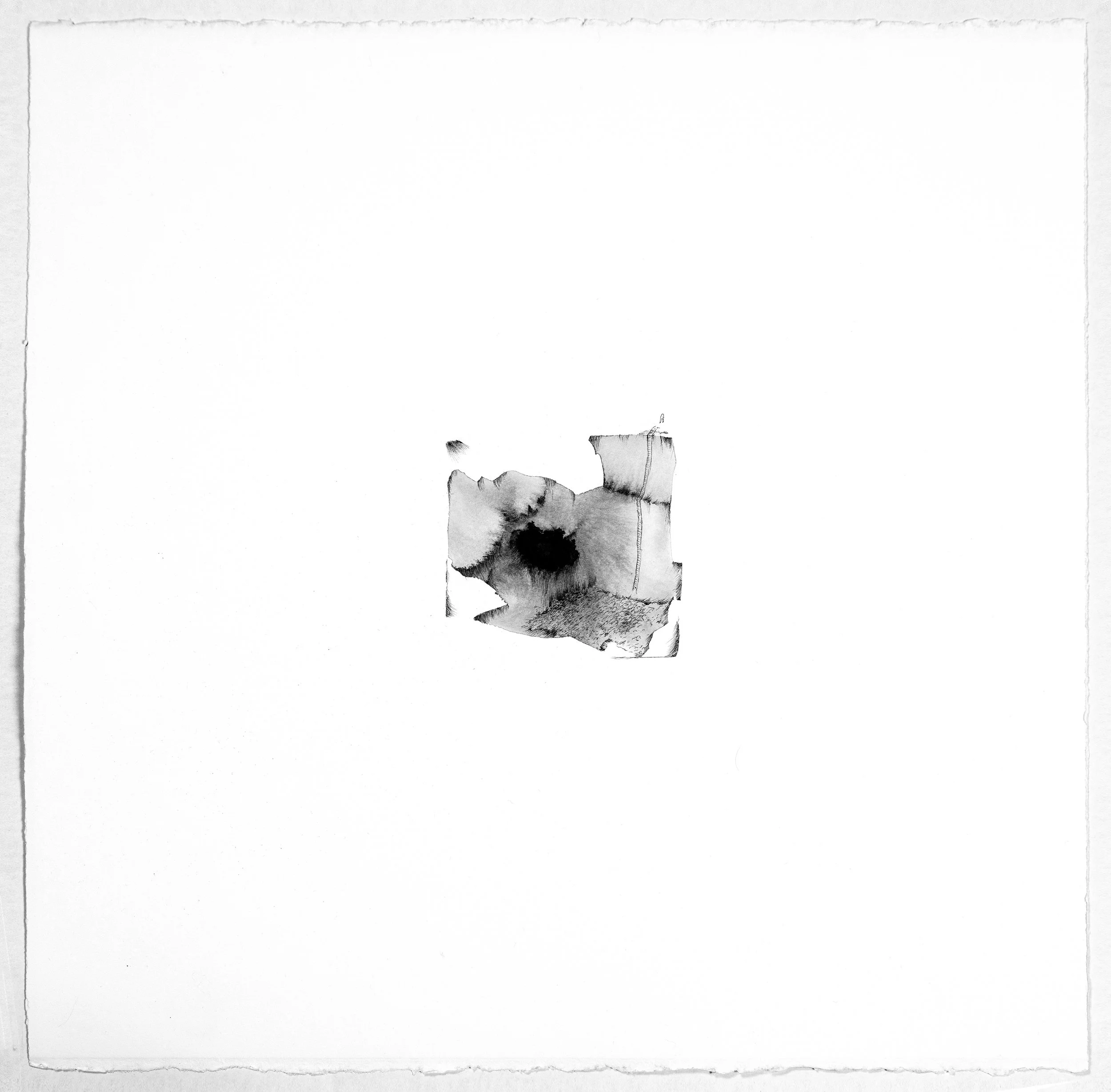
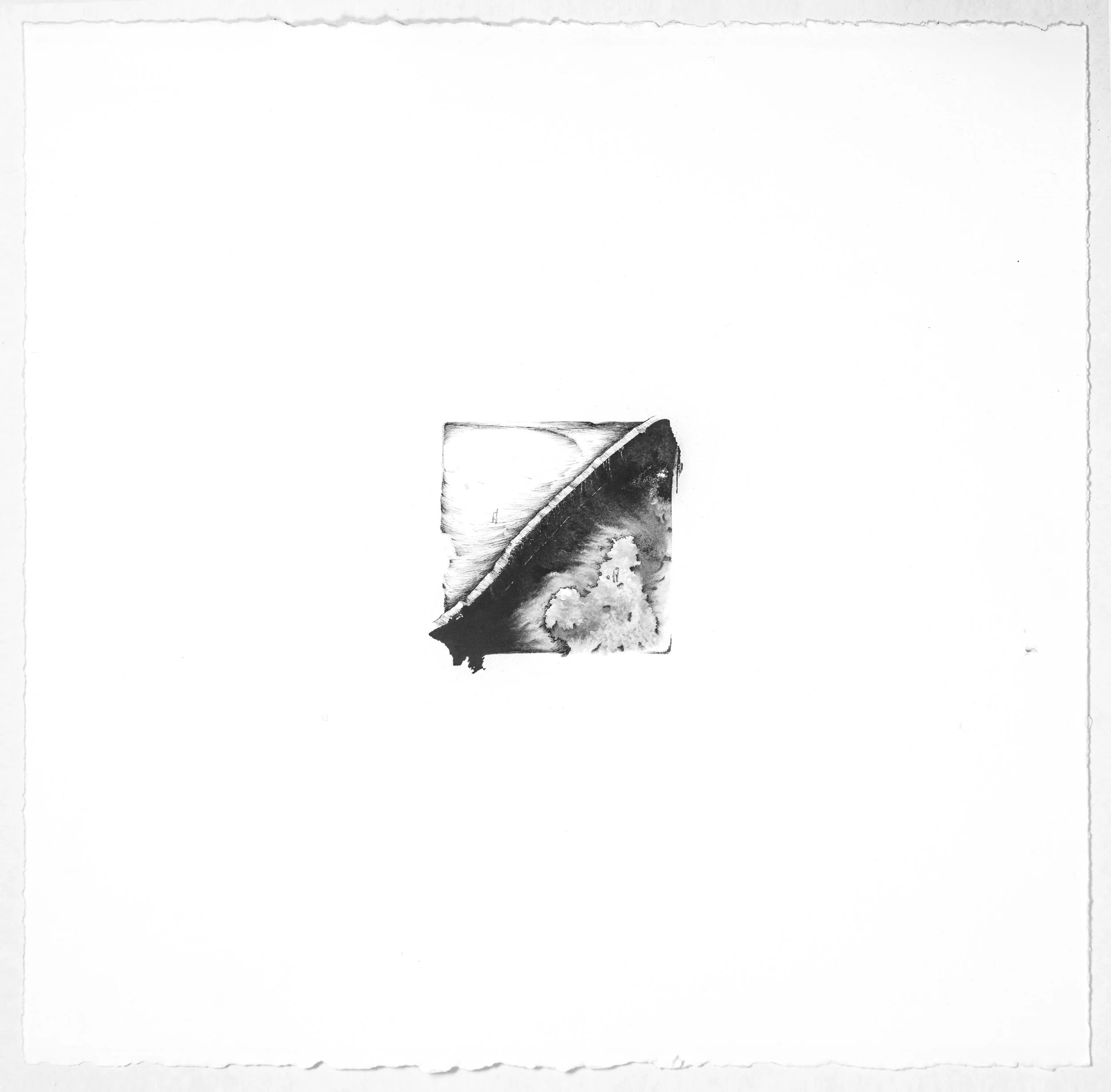
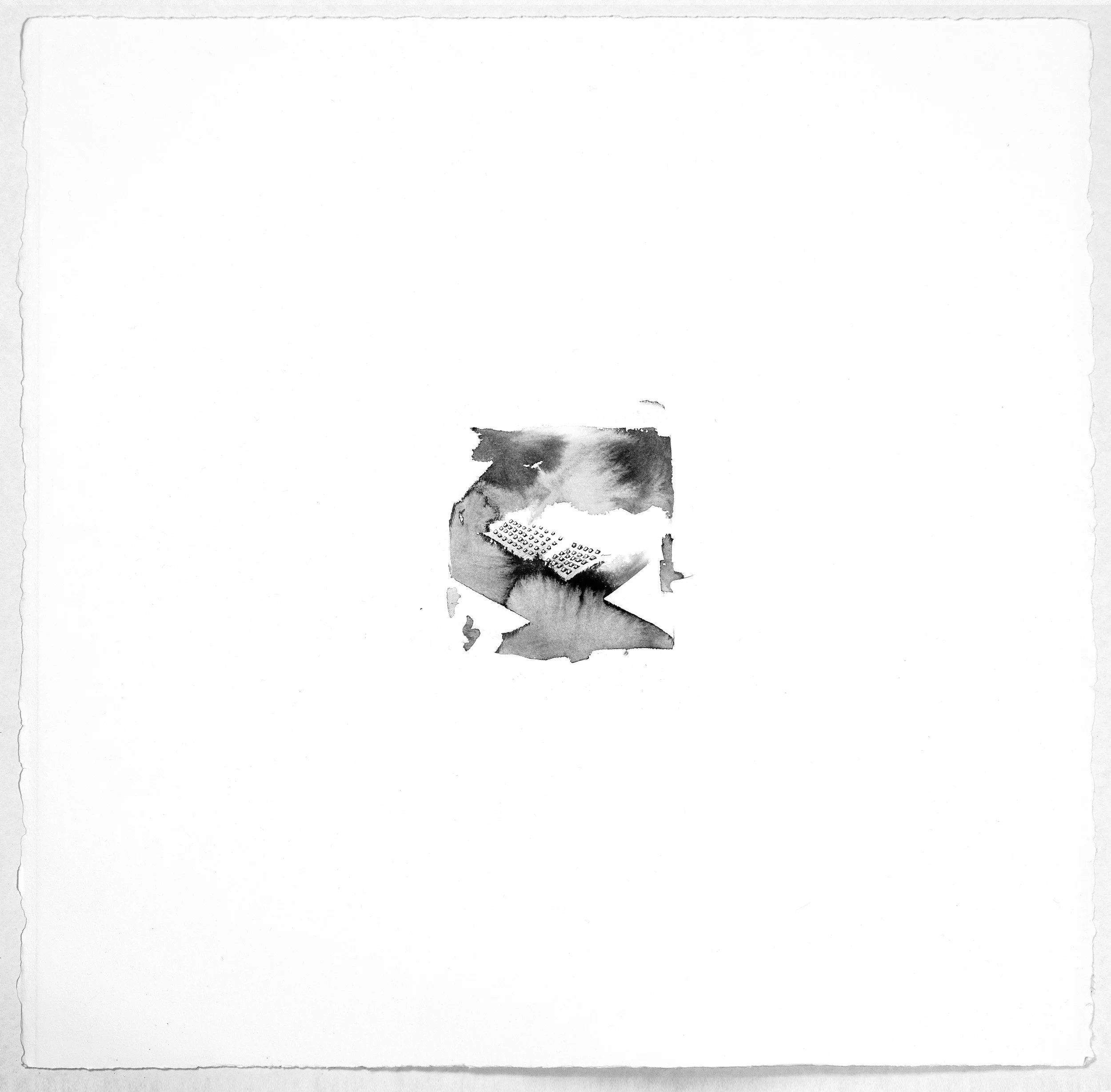
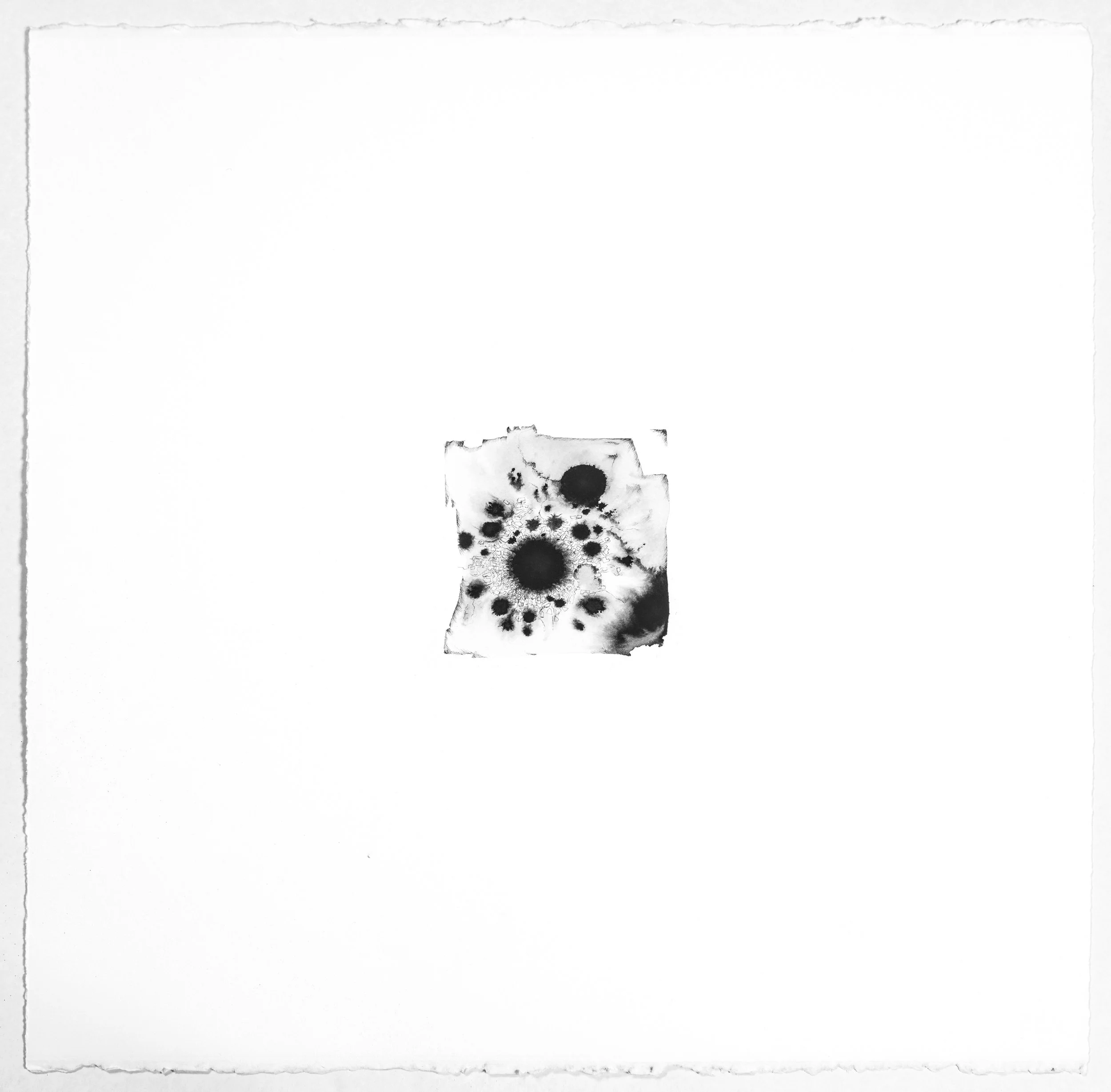
I’m sorry from above
This series of 14 miniature interpretive works document real places and events that have occurred somewhere in the world. Seen from above, events of separation, conflict, loss and incarceration are empathized with but from a satellite distance. Each work is only titled with the GPS coordinates of the event. The true story of each lies in those coordinates.